World 21 views on YouTube
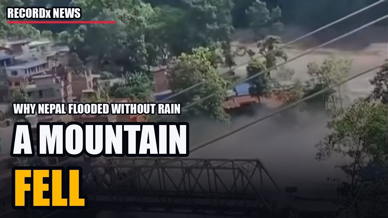
Why Nepal Flooded Without Rain
The water that killed more than a thousand people in Nepal on August 26 did not fall as rain. A slab of glacier and bedrock broke off Langtang Lirung, dammed a river on the Tibetan border, and let go.
This is what happened, minute by minute, and what it means: where the collapse was, why it was not an earthquake and not a glacial lake burst, how the surge reached 9 metres in 30 minutes and carried the dead 240 km into India, why the same valley flooded thirteen months earlier, the satellite data that showed the slope accelerating for weeks, the barrier lake that formed and drained, and the numbers behind the next one.
Written and edited by RECORDx NEWS. Maps from OpenStreetMap (ODbL) river and boundary data; elevation profile from SRTM 90 m. Narration is synthetic. Every figure is dated and attributed on screen; where sources conflict, the video says so.
Footage: AP · BBC News · Sky News · ITV News · DW News · CBC News · CNN · France 24 · USA TODAY (SWNS/Reuters). Soundbites: Jakob Steiner (University of Graz, via CBC), Simon Cox (Earth Sciences New Zealand, via USA TODAY), Simon Cook (University of Dundee, via DW), Mark Poynting (BBC).
The reporting
Compiled 3 Sep 2026. Conflicting figures listed side by side, never averaged. Times NPT unless stated. Every number carries a resolving to a URL + date in the Source key.
Fetch failures (state on-screen as "not directly verified"):
- USGS page: TLS cert error, 2 tries → USGS content cited via EarthSky / Kathmandu Post / Petley.
How this was verified — the rest of the fact sheet
1. TIMELINE (26 Aug 2026)
Seismic signal. USGS first posted M4.4 earthquake, then reclassified as Ms 5.2 landslide: "The seismic energy was instead generated by a landslide". GFZ Helmholtz: Mw 5.7. Epicentre "just north of Langtang Lirung, a mountain in Langtang National Park".
Rise rate. "Trishuli River water levels rose 9 metres (30 feet) in 30 minutes". places the 9 m / 30 min at Galchhi, 100 km downstream.: "Trishuli rose by as much as nine metres (30 feet) in half an hour". ICIMOD: "The Trishuli River surged rapidly within 30 minutes".
Speed. ~50 m/s (180 km/h / 110 mph) — applies to the flood; to the avalanche ("roughly 50 meters per second, or about 180 kilometers per hour").
Reach (each sourced separately).
- 72 km stretch of the Trishuli in Nepal hit.
- "roughly 60 kilometres of valley" damaged from source to Trishuli Bazar.
- ~100 km downstream; "up to 100 km"; "at least 100 kilometres (62 miles)".
- Bodies recovered in Kushinagar and Maharajganj (Uttar Pradesh, India); ≈240 km downstream.
- Bodies in Nuwakot, Dhading, Chitwan, Gorkha, Tanahun, Nawalparasi East/West.
- Affected districts: Rasuwa, Nuwakot, Dhading, Gorkha, Chitwan; 62 districts in NDRRMA missing list.
Downstream colour. Headteacher Rajendra Dawadi evacuated 900 children from Tribhuvan Trishuli secondary school 10 minutes before the flood. Prithvi Highway: 70 m section fell into the Trishuli, 120 m cracked. Silt >1.5 m in disaster zone; debris 2.2 million tonnes.
2. MECHANISM
Where the collapse was.
- Petley: 28.2765 N, 85.5194 E.
- Wikipedia: 28°18′N 85°30′E, Langtang Lirung, ~64 km north of Kathmandu, ~15 km east of initial flood detection.
- EarthSky: north side of Langtang Lirung, "approximately 34 miles (55 km) northwest of Kodari, Nepal".
- USGS: "rapid slope failure involving a glacier in Langtang National Park, Nepal, near the border with China".
- ICIMOD: "The avalanche originated on the Nepali side, outside China's early warning system reach"; ice-rock avalanche "temporarily dammed the Lhende River on the Nepali side".
- The Conversation: "North of Langtang Lirung, Nepal-Tibet border".
- Early framing: "Struck Lhende River in Tibet… about 20 km (12 miles) northeast of Nepal-China border crossing"; "landslide about 12 miles northeast of the Rasuwagadhi border post".
Reconciliation (by date): the "Tibetan side" framing is 26–27 Aug reporting. From 28 Aug, DHM (Planet + Chinese imagery) and ICIMOD place the source on Nepali territory beside Langtang Lirung. Petley's 28.2765/85.5194 (≈ "28.28N 85.52E") sits on the Nepali side; runout crossed into Kyirong (Tibet) and re-entered Nepal at Rasuwagadhi.
What fell.
- Composition: "An enormous mass of bedrock and glacier ice"; "glacier and rock section"; "huge ice and combined rock landslide".
- Width: 600 m.
- Failed area: 0.2 km² (49 acres).
- Volume: 100–200 million m³ — Dr Mohd Farooq Azam, ICIMOD.
- Additional flood water: ~20 million m³ estimated.
- Origin elevation: ~5,200 m (17,000 ft) — Dan Shugar; 5,200–5,400 m.
- Drop: 1,200 m (3,900–4,000 ft); vs "7,000 feet downward" in CNN/Gizmodo search snippet — CONFLICT; 1,200 m has six sources.
- Trigger: "Primary cause: bedrock failure… When the bedrock gave way, the glacier on top also got swept" — Azam. Imagery "confirmed ice avalanche, permafrost movement, and rockslide combination".
- Water source per Petley: ice converted to water by collapse energy + sediment-entrained water + river water.
Damming of Lhende/Lende Khola. Avalanche "blocked the Lhende Khola, ponding the river behind a temporary dam of ice and debris, and when the blockage failed, the stored water released in a single surge"; "When the blockage failed, a wall of water rushed downstream".
Why NOT a GLOF. Sanyal (ICIMOD): "the floods were triggered by an ice avalanche rather than a glacial lake outburst flood". Petley: "There is no evidence that this was a GLOF". KP2: scientists first suspected GLOF because the July 2025 event was one; imagery showed rock-ice avalanche instead. USGS-style label: "ice-rock-avalanche-triggered cascading flood".
Why NOT an earthquake. Petley: "There has been some speculation, and indeed official comments, that the trigger was an earthquake. This is likely to be a misinterpretation of the data – the seismic signal is almost certainly the rock ice avalanche and debris flow, not a tectonic event". USGS reclassification M4.4 quake → Ms 5.2 landslide.
Scientists named (with affiliation, source). Saswata Sanyal (ICIMOD); Mohd Farooq Azam (ICIMOD); Sunwi Maskey (ICIMOD); Dan Shugar (Univ. Calgary; Planet 25/26 Aug pair on Bluesky); Dave Petley (Eos); Binod Parajuli (DHM); Upmanu Lall (Columbia Water Center); Jeff Da Costa (Univ. Reading); Vikram Gupta (Sikkim Univ.); Dorothy Heinrich (Univ. Reading); Hatim Sharif (UT San Antonio); Umesh Haritashya (Univ. Dayton); Manoochehr Shirzaei (Virginia Tech); Jakob Steiner (Univ. Graz, HiRISK); Pawan Bhattarai (Tribhuvan Univ.); Nitesh Khadka; Bethan Davies, Nahel Belgherze.
Satellite evidence. Planet Labs 25 + 26 Aug; Landsat 9 before/after; Sentinel-1 InSAR Jan–Aug 2026; Chinese imagery shared with DHM; EU Copernicus activation.
3. TOLL LEDGER (dated)
Body distribution as of 2 Sep: Chitwan 348, Nawalparasi East 217, Nawalparasi West 190, Nuwakot 155, Rasuwa 45. ~900 bodies found, 4% identified by 2 Sep. Mass burials 31 Aug.
Foreign nationals (side by side).
- : India 177, US 90, Australia 34, UK 33, Canada 25, China ~100.
- [W ~2 Sep]: India 288, US 75, Ukraine 53, Malaysia 51, Australia 38, UK 33, Latvia 33, Canada 32, South Korea 9, Nepali tourists 127, China ~100; 34 Australian pilgrims; 77 Isha Foundation pilgrims (19 nationalities); 261 foreigners from 23 countries missing in Tibet.
- : ~75 Americans unaccounted, 16 reached safety.
- : 583 foreigners from 38 countries.
- : 261 foreigners / 23 countries (Tibet).
- Officials: 147 govt personnel incl. 8 elected reps, 44 Army, 28 police, 13 APF. ~300 trade/transport workers.
Hydropower.
- Operating plants shut: Rasuwagadhi 111 MW, Chilime 22 MW, Mailung Khola 5 MW (Rasuwa); Trishuli 24 MW, Devighat 14.1 MW, Upper Trishuli 3A 60 MW, Saurya 25 MW (Nuwakot). 220 kV Trishuli 3B hub substation damaged.
- Off grid: 431 MW; 431.1 MW. Under-construction capacity damaged: 470 MW.
- Projects damaged: 12 (8 under construction + 4 operating); 13; 11 hydro + 1 solar; 9 "destroyed".
- Tunnel workers: 900 hydropower workers, 500 trapped in tunnels; Upper Trishuli-1 576 missing (300 in tunnel). 933 workers stationed at projects; ~300 rescued. Per project as of 2 Sep: UT-1 557 unaccounted (254 rescued), UT-3B 191, UT-3A 42, Rasuwagadhi 93, Langtang Khola 41, Chilime 8 → 947 total. Rasuwagadhi ≥93 missing.
- ~350 rescued from Upper Trishuli tunnel Fri 28 Aug.
Bridges / roads / ports.
- Bridges: ≥19; 32; 41; 48 suspension damaged, 28 need replacement; 35 motorable + 45 suspension.
- Road: ~40 km; 42 km; road cost NPR 15 bn.
- Rasuwagadhi customs: 70–75 loaded containers swept; 300+ vehicles, ~1,000 EVs swept, 100–200 containers missing. Kerung/Kyirong: 170 containers stranded; 80 trucks + 170 containers.
- Gyirong checkpoint "completely destroyed"; Chinese road repair hampered by currents "six times faster than normal"; 4G/5G base station installed; makeshift road done 2 Sep.
- Miteri (Friendship) bridge: destroyed 8 Jul 2025. Status of any 2026 replacement span: not stated in fetched sources.
- Rasuwagadhi dry port: under construction, destroyed Jul 2025.
- Kailash Mansarovar: Kathmandu → Syabrubesi → Rasuwagadhi-Kyirong → Saga → Manasarovar; peak season late Aug; "dozens of Indian pilgrims heading toward Kailash Mansarovar" among missing.
- Schools damaged: 20. Bank branches destroyed: 9. Buildings damaged: 2,359.
Cost. NPR 200 bn+ (US$1.3 bn+) as of 27 Aug; rebuild NPR 762 bn (US$5 bn). Finance Minister: "$4 billion to $5 billion… close to a tenth of Nepal's economy".
Responders. 21,011 security personnel (8,896 Army, 7,912 police, 4,203 APF); 18,700 rescuers by 29 Aug; 11,814 rescued incl. 324 foreigners. 21,000+. China in Tibet: 800 + 681 + 60 + 158 personnel; 2,100+.
5. WARNING SIGNS + ACCOUNTABILITY
Satellite precursor (the CNN 1–2 Sep "warning signs" story).
- CNN live page headline: "Warning signs were visible ahead of Nepal-China floods, report says" [CNN 1–2 Sep; blocked].
- ESA Sentinel-1 C-band InSAR, 8 Jan–18 Aug 2026: glacier moving ~10 mm/month, "the rate accelerated weeks prior" to 26 Aug — Manoochehr Shirzaei, Virginia Tech. Shirzaei: "The acceleration is more important than the velocity, because it suggests rate of slope deformation was changing".
- Jakob Steiner (Univ. Graz, HiRISK report co-author, Landsat 9): "There are thousands of glaciers in High Mountain Asia, so we have to find scalable solutions".
- Upmanu Lall: "Conditions were potentially developing for quite some time, maybe months".
- Gizmodo states no reference to local ground warnings (cracks, noises) — none found in any fetched source.
July 2025 precedent — same river.
- 8 Jul 2025 (Tuesday): flood down Lhende into Bhote Koshi at Rasuwagadhi.
- Cause: supraglacial lake on Purepu (Pyurepu) Glacier, Tibet, ~5,150 m, ~36 km upstream of Rasuwagadhi; pond appeared end-Dec 2024, grew markedly by Jun 2025; lake area 0.75 → 0.61 km² after drainage; DHM + ICIMOD finding. Lake visible 5–7 Jul, gone 8 Jul [search snippet, KH25/Farsight].
- Toll: ≥9 dead, 19 missing.
- Destroyed: Friendship (Miteri) Bridge, Rasuwagadhi dry port (under construction), Trishuli hydropower projects, container trucks and EVs at customs; Rasuwagadhi Hydropower damaged, road to Tibet cut.
- DHM: "There is a noticeable reduction in the area of the glacial lake, which strongly suggests that water was discharged from the lake".
- Sanyal (ICIMOD, Jul 2025): "The acceleration of these types of events is completely unprecedented in the Hindu Kush Himalayan region".
- Madhukar Upadhyay: "Our infrastructures are not built to withstand the climate-induced disasters".
- EWS gap: "Only 2 of 21 potentially dangerous Himalayan glacial lakes in Nepal have functioning early warning systems; the Bhotekoshi lake remained unmonitored".
- What was rebuilt where between Jul 2025 and Aug 2026: NOT stated in any fetched source.
Cross-border alert gap.
- : no formal data-sharing among China, India, Nepal; DHM requested real-time glacial-lake data from both neighbours "without positive response"; Tibetan data politically sensitive. Kamal Ram Joshi (DHM DG): "We are in a difficult position with the lack of data about glacial lakes." Narendra Khanal (TU): "Many dangerous glacial lakes are in Tibet. If they burst, it will directly impact Nepal." Deepak K C (UNDP): "We are not serious regarding the disaster of glacial lake outbursts."
- [RT Reuters 30 Aug, snippet only]: Nepal had asked China for early warnings as risks mounted; China and Nepal jointly monitor a single transboundary lake, Cirenmaco — "a system built for slowly forming lakes rather than a sudden avalanche in an unwatched valley"; Nepali hydrology officials said China "had for years failed to share 'essential' data".
- ICIMOD: source "outside China's early warning system reach".
- 4 monitoring stations destroyed. First SMS 09:15, 38 min after collapse.
Government statements.
- PM Balendra Shah: "We are moving forward from search, rescue and relief distribution to rehabilitation after the devastating flood in the Bhotekoshi River in Rasuwa." / "This is not only the suffering of Rasuwa, Nuwakot and Dhading. It is a shared blow to the heart of the entire country."
- Shah on Facebook: Nepali army and police "along with experts from India, China and South Korea" carrying out rescue at hydropower tunnels [search snippet, NPR/MD context].
- Relief: PM Natural Disaster Relief Fund NPR 5.87 bn by 1 Sep; NPR 675 M to 15 local units; cabinet pledged one month's salary; ~NPR 1 bn (US$6.5 M) allocation.
- Press Council Nepal ordered ≥72 users to remove content incl. AI-generated footage.
- China: Premier Li Qiang visited Tibet zone Thu 27 Aug; ≥10 people penalised for "misleading or disruptive posts" (30 Aug); journalists warned against non-official casualty figures; BBC headline changed "fully censored" → "heavily censored"; International Campaign for Tibet claims "up to 300 homes destroyed". China aid: 50 t on two Y-20s + US$2 M + US$200k (30 Aug); second batch 1 Sep; 220 M yuan (US$33 M); US$32.7 M.
Nepal declining foreign rescue teams.
- Nepal declined offers from several countries to send SAR teams, citing sufficient domestic capacity; Foreign Ministry rejected geopolitical reading; some ex-officials cited Rasuwa's proximity to Tibet [NPR 31 Aug; MD 28 Aug — search snippets, not fetched].
- "Nepal initially rejected foreign assistance, later accepted Chinese and Indian support." India: 18 tunnel-rescue-trained army officers, 6 forensic teams, 4 aid tranches, Bailey bridges.
6. BIGGER PICTURE
- HKH glaciers lost ice 65% faster in 2011–2020 than the previous decade (ICIMOD). HKH ice-loss rates "roughly doubled since 2000" (ICIMOD). Nepal's glaciers lost "close to one-third of their ice volume in roughly three decades" (UN 2023).
- Glacial lakes: 3,624 (≥0.003 km²) in Koshi/Gandaki/Karnali basins — 2,070 in Nepal, 1,509 Tibet AR, 45 India; 47 potentially dangerous = 25 China / 21 Nepal / 1 India; 42 in Koshi, 3 Gandaki, 2 Karnali. Only 2 of Nepal's 21 have working EWS.
- Chamoli, Uttarakhand, 7 Feb 2021: ~27 × 10⁶ m³ rock + glacier ice from north face of Ronti Peak; >200 killed or missing; two hydropower projects severely damaged. "roughly 80% rock, 20% ice… about 200 people".
- South Lhonak, Sikkim, 4 Oct 2023: thawing-permafrost rock collapse into lake → wave burst moraine → >50 million m³ (13 bn gallons) released; several dams, 25,000+ buildings, 30+ bridges. Deaths: 55 dead + 74 missing (damage over 385 km) vs 24 dead + 70 missing — sources conflict [search: Wikipedia/ScienceDirect vs Scientific Reports] [EOS-SK].
- Kedarnath, 16–17 Jun 2013: cloudburst + Chorabari lake breach; toll 6,054 vs "around 5,000" official [FACTLY].
- Melamchi, 2021: 24 deaths, US$905 M damage, 570 homes. 2016 Tibet GLOF (Sunkoshi/Bhote Koshi): US$200 M damage, 125 homes, one hydro plant, zero deaths.
- Blatten, Switzerland, May 2025: Birch Glacier, ~9.5 million m³, one death, 300+ evacuated on monitoring.
- Other collapses listed by AJ2: Aru Range, Tibet, Jul 2016 (68 M m³) and Sep 2016 (83 M m³); Bukadaban Feng, Nov 2022 (40 M m³); "2018 Uttarakhand (27 M m³)" as printed.
- Permafrost quotes. Haritashya: "High mountain slopes are held together by permafrost—ground that stays frozen year-round—with ice filling cracks like natural cement"; "On a steep cliff, these water-filled fractures can sometimes be the difference between a face that holds and one that gives way". Heinrich: "There is high confidence of more heatwaves, glacial retreat, permafrost reduction". Da Costa: "Cannot attribute this individual collapse to climate change without further analysis". ICIMOD: climate change boosted risk but event "cannot yet be directly attributed to warming".
Footage
Every clip in the reel, and where it came from.
- AP `JXYbw_wdjRM` · Associated Press · 26 Aug 2026 · "Video shows deadly flash floods hitting Nepal" 0.0–11.6
- AP `BCanRmchkL0` · Associated Press · 26 Aug 2026 · "CCTV video show floodwaters overtaking a port near Nepal and China border" 0.0–10.3
- CBC News `rL09GO2i7go` · 27 Aug 2026 · "The science behind Nepal's violent flash flood" 88.0–102.1
- USA TODAY `5p0qUmXGYzE` · 27 Aug 2026 · "Scientists explain how a Himalayan glacier caused deadly Nepal floods" 61.5–87.6
- DW News `oQln93JlLoM` · 28 Aug 2026 · "Himalayan flood disaster explained" 1058.2–1083.9
- DW News `oQln93JlLoM` 776.6–800.7
- BBC News `yQAH4Crser8` · 27 Aug 2026 · "Did a glacier collapse trigger Nepal's deadly floods?" 406.2–429.3
- source window
- FRANCE 24 `ORPDEvHJZpA` · 27 Aug · reconstruction 41.2–59.5
- DW `oQln93JlLoM` 782.8–788.8
- DW 789.2–800.8
- ITV News `1EvDOdwGmac` · 27 Aug · "Satellite images show immense scale…" 7.8–12.9
References
- en.wikipedia.org2026 Nepal floods
- icimod.orgkyirong rasuwa flood 2026 nepal china border
- usgs.gov2026 nepal debris avalanche and flash flood
- theconversation.comwhen a mountain falls how ice and rock triggered nepals catastrophic flood and why climate
- cnn.comnepal china flood
- aljazeera.comnepal tibet floods what happened what caused them and who is missing
- aljazeera.comnepal tibet floods what is a glacial collapse how common is it
- aljazeera.comis nepal facing another devastating flood from a new lake
- aljazeera.comnepal tunnel traps hinder flood rescue how many are dead or missing
- aljazeera.comlack of cross border flood alerts adds to disaster fears in nepal
- kathmandupost.comnew barrier lake in nepal raises fresh flood threat china warns
- kathmandupost.comwhat triggered the rasuwa flood scientists piece together a complex chain of events
- kathmandupost.comsupraglacial lake outburst in tibet caused bhotekoshi flooding
- earthsky.orgnepal flash flood glacier collapse landslide aug 26 2026
- eos.org26 august 2026 nepal and tibet
- gizmodo.comsatellites watched a himalayan glacier speed up for weeks before it unleashed a flash floo
- abcnews.comstory
- manilatimes.net
- mappr.conepal flash flood rasuwagadhi
- usnews.combefore flood catastrophe nepal asked china for early warnings as risks mounted
- npr.orgnepals hesitance help flood
- moderndiplomacy.euwhy is nepal rejecting foreign rescue teams after the flood
- spotlightnepal.comfloods bhotekoshi damage 12 hydropower projects
- english.onlinekhabar.comrasuwa flood damages hydropower plants and 220 kv substation power supply disrupted
- icimod.orgnew glacial lake inventory report released 47 potentially dangerous glacial lakes ranked
- science.orgscience.abh4455
- eos.orgsikkim glof october 2023
- freepressjournal.in2013 kedarnath flood disaster how a cloudburst killed 6000 people 9 years ago
- factly.inthe death toll of 2013 uttarakhand floods stands around 5000 not 25000
- en.wikipedia.org2024 Nepal floods
Reporting drawn from ICIMOD · Kyirong-Rasuwa Flood 2026 · USGS · 2026 Nepal Debris Avalanche and Flash Flood · Dave Petley · The Landslide Blog (Eos) · Kathmandu Post · Aug 27 and 28 2026 and Jul 11 2025 · Al Jazeera · Aug 27 · 28 and 31 · Reuters · Aug 30 · The Conversation (Umesh Haritashya) · Aug 29 · Gizmodo · Sep 2 (ESA Sentinel-1 · HiRISK) · AP via ABC News · Sep 2 · NDRRMA situation report · Sep 1
What the reel says
Narration as scripted and voiced.
The water that killed more than a thousand people in Nepal did not fall as rain. It fell as a mountain.
Part of a glacier, and the rock under it, broke off a Himalayan peak and dropped more than a kilometer into a river. Half an hour later, this came down the valley.
This is the mountain that fell. What happened that morning? What actually came down? Why this valley keeps flooding? The warning signs that were there. The lake that formed afterwards. And why the next one is already forming.
It was 8.37 in the morning, Nepal time, on Wednesday, August 26th. High on the north side of Langtang Lirung, a 7,200 -meter peak inside Langtang National Park, a slab of glacier ice and bedrock let go. The United States Geological Survey first logged the shaking as a magnitude 4.4 earthquake. Within a day, it reclassified it. The signal was the landslide itself, moving through the ground with the energy of a magnitude 5.2.
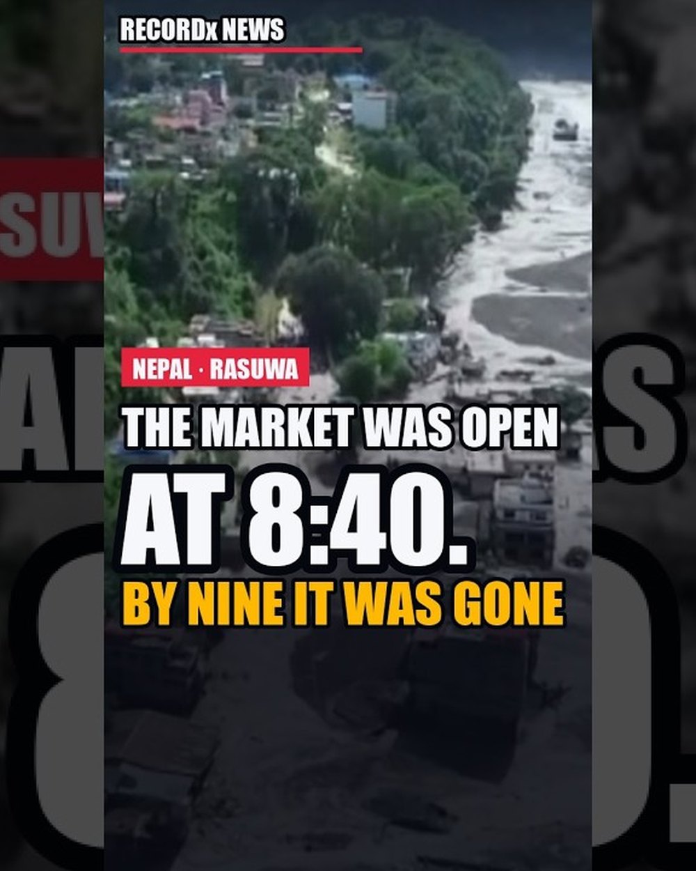
The mass fell into the Lende Khola, the river that comes out of Tibet, and turns south into Nepal at the Rasuwagadhi crossing. Whether the debris dammed at a few kilometers on one side of the border or the other is still being argued. What is not argued is what happened next. The river backed up behind the plug. The plug failed. Within minutes, a surveillance camera at China's Gyirong port on the far bank of the crossing recorded the surge arriving. Fourteen kilometers inside Nepal, it hit Syabrubesi. The first text alerts reached phones at 9.15, 38 minutes after the mountain fell.
The Trishuli rose 9 meters in 30 minutes. The surge kept going. It damaged around 100 kilometers of valley, 40 kilometers of road, and dozens of bridges. It carried the dead 240 kilometers across the border into India.
Below Syabrubesi, the water hit hydropower plants one after another. At Upper Trishuli 1, workers were inside the tunnels when it came. Two days later, the army brought around 350 of them out alive. Hundreds more are still listed as unaccounted for.
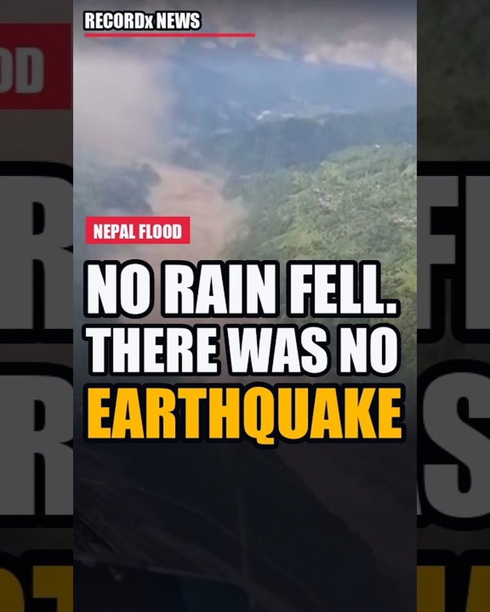
Start with what did not happen. No heavy rain fell in Rasuwa that week. No glacial lake burst. And there was no earthquake. What happened is simpler and rarer. The lower part of a glacier, sitting on a shelf of bedrock at about 5,200 meters, gave way. And when the rock went, the ice on top went with it. 600 meters wide. A fifth of a square kilometer of mountainside. Estimates of the volume run from 100 to 200 million cubic meters.
It's really like someone took a knife and basically cut the lower part of a glacier and dropped it off the mountain cliff. This violent impact of those millions of tons of ice displaced the water and sediment in the valley floor, launching it forward like a tsunami.
The drop was 1,200 meters onto the valley floor. That fall is where the energy came from. Ice turned to water on impact. The debris scooped up the river and the sediment in it, and the whole mass ran down the Lende Khola until it choked the channel. Water pooled behind it. When the plug gave way, the pool emptied in one pulse, and the pulse had 90 kilometers of steep valley ahead of it. From the dam to Rasuwagadhi alone, the river drops 1,100 meters in 16 kilometers.
incorporated all of the water in the river valley and pushed it out the front kind of almost like a syringe pushing or you know plunging it out in front so you get this kind of all the water that's there being shoved out front but at the same time is melting the ice and collecting other water and things so you get this really hyper concentrated flow of what's kind of like
Scientists now have a label for it, an ice rock avalanche that triggered a cascading flood. Dave Petley, who has catalogued landslides for decades, wrote that the seismic signal was almost certainly the avalanche and debris flow, not a tectonic event. And Sunwi Maskey of the Mountain Research Center, ICIMOD, said what every geologist was thinking. Such a massive block does not generally just fall.
Look at the map again, because the shape of this valley is the story. Feeding the Lende Khola from the east is another stream, the Purepu Tsangpo, which drains a glacier on the Tibetan side. On the 8th of July, 2025, 13 months before this flood, a lake on that glacier drained without warning and sent a flood down the same river, through the same crossing. Nine people died. It took the Miteri Friendship Bridge, the dry port that was still being built, and the trucks parked at Customs.
After that flood, Nepal's hydrology department counted the gaps. 21 glacial lakes in Nepal are classed as potentially dangerous. Two have working early warning systems. The lake that burst had not been monitored at all. Reuters reported that Nepal and China jointly watch exactly one lake across the border, Cirenmaco, with a system built for a lake that fills slowly. This avalanche started in an unwatched valley outside the reach of China's warning network. The first alert reached phones 38 minutes after the mountain fell. For the crossing, that was half an hour too late.
And it's worth bearing in mind here that this was an event which took place across borders. So this is a landslide and glacier collapse that started in Nepal and then was moving across the Chinese -Tibetan -Nepalese border. And so you then need cooperation between two countries to actually coordinate that kind of early warning system and monitoring.
It turns out the mountain had been moving. European radar satellites had been imaging the slope every few days. Between January and August, the glacier crept at about 10 millimeters a month. In the weeks before the collapse, it sped up. Manoochehr Shirzaei, of Virginia Tech, who ran the analysis, put it plainly. The acceleration matters more than the velocity because it means the slope was changing. No one was watching that data for this slope. There are thousands of glaciers in High Mountain Asia, one of the report's authors said, and no system yet watches them all.
that's harder to do um there are many uh many more um glaciers than there are glacial lakes for example and certainly many more uh valley walls to monitor than there are glaciers and lakes combined right so you've got a huge vast mountain range with a vast number of glaciers and it's individual bits of glaciers within those individual glaciers that that may fail
Watching works. In May 2025 in Switzerland, the Birch Glacier fell on the village of Blatten, nine and a half million cubic meters of ice and rock. One person died because 300 had already been evacuated on the strength of monitoring. But there is a hard limit here too. Hatim Sharif, a flood engineer at the University of Texas at San Antonio, said a surge this fast defeats essentially every operational flood warning system in the world. From the collapse to the crossing, the water needed minutes.
The mountain was not finished. Within a day, debris had dammed the river again, higher up, near where the Purepu meets the Lende, and a new lake was filling behind it. China's water ministry estimated 2 million cubic meters on the Thursday morning, and 3 million more to come. On Friday, the 28th, the lake began to overflow. Rescue teams in Rasuwa were pulled back from the river. Then the water found its way through gradually, not all at once. And by Sunday, the 30th, the lake was largely empty. A second, smaller lake still sits in the crater below the scar, and scientists say the slope around it is still unstable.
By the 2nd of September, the government's count stood at 1,114 dead in Nepal and 3,916 missing on the disaster agency's list. On the Tibetan side, 16 dead and 546 missing. Hundreds of the missing are foreign nationals, pilgrims on the road to Kailash, tourists, and drivers at the crossing. Four hundred and thirty -one megawatts of hydropower are off the grid. Nepal's finance minister put the rebuilding at four to five billion dollars, close to a tenth of the economy.
but also the permafrost that's the permanently frozen ground that effectively holds these mountainsides together that could have um the melting of that permafrost could have played a role in destabilizing the bedrock and so causing all of that ice and rock to plow down the valley of but as i said too early to say exactly how much of a role climate change played this time around
The Hindu Kush Himalaya lost ice 65 % faster in the last decade than in the one before. Nepal alone holds more than 2,000 glacial lakes. Frozen ground holds these slopes together, ice filling the cracks like natural cement as one glaciologist described it. And that cement is thawing. Chamoli, India, 2021. An ice rock avalanche, more than 200 dead. Sikkim, 2023. A lake burst through its moraine. Rasuwa, 2025. Rasuwa, 2026. No single collapse can yet be pinned on warming. The pattern can.
Nepal's prime minister called it a shared blow to the heart of the entire country. Search teams are still in the tunnels. The lake below the scar is still there. And the satellites are still watching a slope that has already moved once.